Wild Horse & Burro Guide: Utah
Salt flats, red rock, and two-tracks that turn to gumbo.
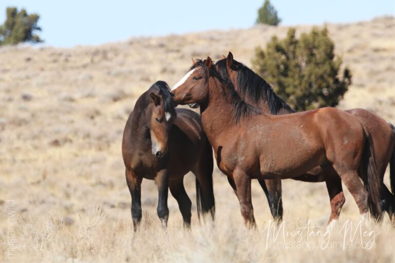
Utah wild horse and burro country is a study in contrasts—salt desert and sage basins near the Wasatch, wind-scoured mountain ranges in the West Desert, and red-rock canyonlands where burros travel between water and rock ledges like they own the place. This guide is a visitor-friendly starting point, not an official boundary map—always check current BLM updates (roads, fire restrictions, active gathers) before you go.
Conditions in wild horse and burro country can change quickly. Road closures, washouts, mud season, drought, and gather operations can all affect what you’ll see and how safely you can travel.
Utah Wild Horse & Burro Country at a Glance
At a glance
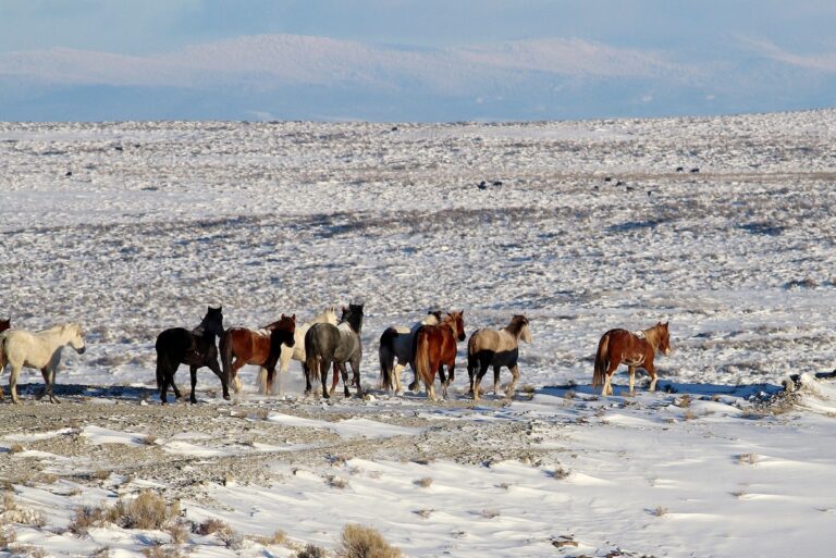
- Signature feel: Big West Desert skies, remote ranges, and “blink-and-you-miss-it” bands that know every water pocket. Bureau of Land Management
- Why people go: Close-to-SLC access in the north (Onaqui/Cedar), plus iconic red-rock country (San Rafael Swell / Canyonlands region). Bureau of Land Management+2Bureau of Land Management+2
- Good first-timer loop: Pony Express Road toward Simpson Springs (Onaqui) for a realistic chance to spot horses from the road—while still keeping a respectful buffer.
Where the Utah HMAs Are
BLM’s Utah HMA hub page includes the statewide map and links to each individual HMA page (many of which include “Viewing Opportunities” directions).
Featured Places to Start
Onaqui Mountain HMA — Pony Express Country, Close to Salt Lake
Story
Onaqui sits in that rare sweet spot: it’s reachable from the Wasatch Front, but still feels like real range country once you turn off pavement. It’s also one of the HMAs where visitor behavior matters most—BLM specifically notes that many Onaqui horses are habituated to close human presence, and asks visitors to keep distance so they stay wild.
Visiting notes
- Recommended access route includes I-80 to Exit 77, then down toward Pony Express Road / Simpson Springs.
- BLM asks visitors not to approach within 100 feet and never feed or pet. Wild horses can be dangerous if confronted.
- Roads can be dusty; storms can make some routes impassable—stay on existing roads.
Cedar Mountain HMA — Skull Valley Color and Big-Range History
Story
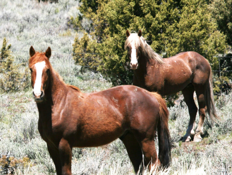
Cedar Mountain is classic West Desert horse country—broad basins, changing elevation, and bands that can feel invisible until they aren’t. BLM notes long occupancy dating back to the late 1800s, and a wide color range with bay and black dominant.
Visiting notes
- Located west of Salt Lake City and south of I-80.
- Expect fire/weather sensitivity and long distances between services. (Plan fuel like you mean it.)
Swasey Mountains HMA — The House Range and a Real Shot at Seeing Horses
Story
Swasey is one of the places that can reward patient “glass and cruise” travel—work the edges, watch the foothills, and give the bands room to keep doing what they’re doing.
Visiting notes
BLM provides detailed viewing directions from Delta via US-50/6, with specific turns toward Swasey Spring / “Middle Pond,” and notes horses may be seen in foothills and canyons along the east side of the range.
Muddy Creek HMA — San Rafael Swell Horses and Interstate Access
Story
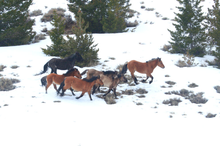
Muddy Creek is San Rafael Swell country—rugged, dramatic, and deceptively big. BLM describes common herd colors as bay/brown/black, and notes the HMA spans both north and south of I-70 in this region.
Visiting notes
- BLM includes multiple “viewing loop” options using I-70 exits and gravel/dirt roads (Justesen Flat is specifically mentioned as a common area).
Range Creek HMA — Nine Mile Canyon Ridges (Plan a Full Day)
Story
Range Creek is for people who like a long, committed day in big terrain—ridgetops, steep country, and distances that look shorter on a map than they are in real life.
Visiting notes
- BLM explicitly notes most visitors should plan a full-day trip, and that 4WD/high-clearance is recommended once you leave the main maintained road.
- Binoculars are a must; roads can be slick mud when wet and very dusty when dry.
Burro Country to Add to Your Utah Trip

Canyonlands HMA — Wild Burros Near UT-24 / Hans Flat / Robbers Roost Road
BLM provides a specific route using I-70 to UT-24, then south toward Hanksville/Goblin Valley with directions toward Hans Flat via Robbers Roost Road, and emphasizes that the area is very remote and recommends 4WD and extra supplies.
Sinbad HMA also has burros, and they are often visible from I -70 between Green River exits.
All Utah HMAs (Complete List)
Here’s the full statewide list of Utah’s 19 HMAs (we’ll feature only a handful above, but we keep the whole state together in one guide).
Northern / West Desert corridor
- Onaqui Mountain HMA — Pony Express country near Simpson Springs; high visitor pressure, so distance matters.
- Cedar Mountain HMA — Skull Valley range west of SLC; big basins and varied colors.
- Swasey Mountains HMA — House Range foothills/canyons; BLM provides strong viewing directions.
- Confusion HMA — West Desert range country (remote; plan for rough roads).
- Conger HMA — Great Basin-style open country (often paired mentally with “quiet miles” travel).
- King Top Mountains HMA — Another Delta-area west desert option with official viewing directions on BLM’s page.
- North Hills HMA — Northern Utah range country; check current BLM updates before making a long drive.
Central / San Rafael Swell & canyon country
- Muddy Creek HMA — San Rafael Swell horses near I-70 corridors and loops.
- Range Creek HMA — Nine Mile / ridge travel; full-day, high-clearance mindset.
- Choke Cherry HMA — Listed on the Utah HMA hub; confirm local access before you go.
- Chloride Canyon HMA — Listed on the Utah HMA hub; check current conditions.
- Mount Elinor HMA — Listed on the Utah HMA hub; verify where horses are currently concentrated via recent reports.
Southwest / desert & pinyon-juniper country
- Bible Spring HMA — Viewing guidance from Modena/Lund routes; roads can be impassable in wet/snow, BLM recommends 4×4 and full supplies.
- Four Mile HMA — Part of Utah’s HMA network; check recent BLM updates for access and management activity.
- Frisco HMA — Listed on the Utah HMA hub; confirm conditions before travel.
- Tilly Creek HMA — Listed on the Utah HMA hub; confirm conditions before travel.
Burro HMAs
- Canyonlands HMA — Burros; Hans Flat / Robbers Roost Road access notes; very remote.
- Sinbad HMA — Burros; often visible from I-70; WSAs and mud restrictions noted.
Notable Utah HMA horses (ready to paste)
Onaqui Mountain HMA
One Ear (also known as “Van Gogh” in some write-ups)
A legendary palomino stallion recognized instantly by his missing ear and old-warrior presence. The Onaqui Catalogue Foundation notes that One Ear passed away in 2025 and remains one of their most cherished range memories.
Maverick (OQ237gS)
A compact, gray bachelor stallion from the south Onaqui herd, widely photographed and often described as a standout personality. Wild Horse Photo Safaris identifies him as Maverick (OQ237gS) and notes he’s a son of Goliath.
Stargazer + Northstar “Nora” (bonded pair; OQ10bdpS and OQ259zM referenced in documentation)
One of the most recognized Onaqui stories: Stargazer is documented as finding Nora injured/left behind in spring 2020 and staying as her steadfast companion—an enduring “once wild and forever bonded” narrative shared across multiple sources.
Sulphur Springs HMA
Chief (band stallion)
Return to Freedom identifies Chief as the dun stallion leading one of the sanctuary’s Sulphur Springs family bands, and states the herd name comes from Utah’s Sulphur Springs Herd Management Area in the Needle Mountain Range.
Bear (band stallion)
Also documented by Return to Freedom as the grulla stallion leading the second Sulphur Springs family band at their sanctuary.
Ethics You Can Keep in Your Pocket
- Let the animals set the comfort bubble—if heads pop up or the band strings out, you’re too close.
- No feeding, no calling, no “just one quick selfie.”
- Stay on existing roads; mud season turnarounds are stewardship, not defeat.
- Water is everything out here—give springs and tanks extra space.
More Resources (Official, Current)
- BLM Utah HMAs hub (map + HMA links): Bureau of Land Management
- BLM Utah gathers/removals (what may affect travel and sightings): Bureau of Land Management
HMA vs. HA vs. WHT — What’s the Difference?
- HMA (Herd Management Area): the official public-land units managed for wild horses/burros.
- HA (Herd Area): places horses/burros use outside HMA boundaries (not necessarily managed as official range).
- WHT (Wild Horse Territory): Forest Service-managed wild horse territory (USFS).
Read the State Guides
These guides are coming online one by one. If a title doesn’t have a link yet, it just means I’m still writing it—check back soon.